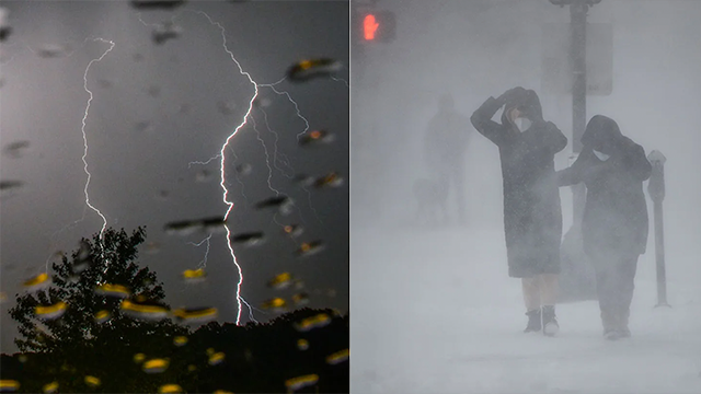
A powerful storm system is gearing up to make its way across the U.S., bringing a mix of heavy snow, torrential rain, and severe weather. This developing system could dump feet of snow in parts of the Southwest and Plains, while also threatening areas in the Southeast and Gulf Coast that are still recovering from a recent historic blizzard.
This storm is tied to a weather system that’s already causing widespread rain in Southern California, which started on Sunday. Though it’s still a few days away from hitting other regions, experts say it could be a major event.
Here’s what’s happening: As the storm moves east from California, it’s expected to break away from the northern jet stream and form a slow-moving system in the Southwest. Once it gets stuck in this pattern, it will linger over the Four Corners region and the Plains through midweek, bringing potentially heavy snowfall.
While the supply of cold air isn’t endless, there’s just enough Arctic chill wrapping into the storm to spark snowstorms in places like Arizona, New Mexico, and parts of the Plains. Depending on how the storm develops, some areas could see several feet of snow pile up.
At the same time, warm air from the Gulf of Mexico will fuel heavy rain across parts of Texas, Oklahoma, and the Gulf Coast—many of these places recently endured a rare winter blast. As warm, humid air mixes with the incoming system, there’s also a risk of severe weather, including strong storms and possibly damaging winds, in the middle of the workweek.
Forecasters say it’s still too early to pinpoint exactly how this storm will play out, but it’s shaping up to be a widespread and impactful weather event. On top of that, this system might be the start of a bigger shift in the weather pattern, with more storms expected to follow a similar path as February begins.
For now, officials urge people to stay tuned to weather updates and be prepared for changing conditions. Whether it’s snow, rain, or storms, this week could bring some big surprises across the country.


